Conistone Dib from Grassington.
Start. Grassington.
Route. Main Street - Garrs Lane - Bank Lane - Cove Scar - Dib Beck - Conistone - Conistone Dib - Dales Way(north) - Conistone Pie - Dales Way(south) - Cove Scar - Bank Lane - Garrs Lane - Main Street.
Notes. Sue's picked the walk today, she's navigating, I'm just along to enjoy the scenery, she also knows how to pick the weather, as we shopped for supplies on Grassington's Farmer's Market it was obviously going to be a long hot day.
From the main car park we followed Main Street turning left to enter Garrs Lane, after a few hundred yards wandering along the lane a fingerpost pointing up Bank Lane announced we'd reached the Dalesway Footpath, we ascended between dry stone walls to reach a footpath crossing the fields to our left. On leaving the fields our route followed the wall along the edge of Bastow Wood passing the remains of several Medieval Villages en route to the head of Dib Beck, this deep ravine was easily crossed followed by the long descent through high pastures to Conistone.
Almost the highlight of the day next, the ascent through Conistone Dib, this once raging watercourse allowed us to ascend between steep limestone cliffs before depositing us on the Dales Way, it was tempting to head south back to Grassington from the head of the Dib but the best view point in the Dales lies a short walk through the next field to the north, the delightfully named Conistone Pie was our lunch stop and easily the highlight of the day. What better place to sit drinking coffee, eating home made cakes purchased that morning from the market than this fantastic viewpoint, all too soon it was time to make our way back to Grassington, we bid Conistone Pie a sad farewell as we re-traced our steps to the head of Conistone Dib. For the next two miles the Dales Way was our companion conveying us through some beautiful high limestone scenery en route back to Grassington.

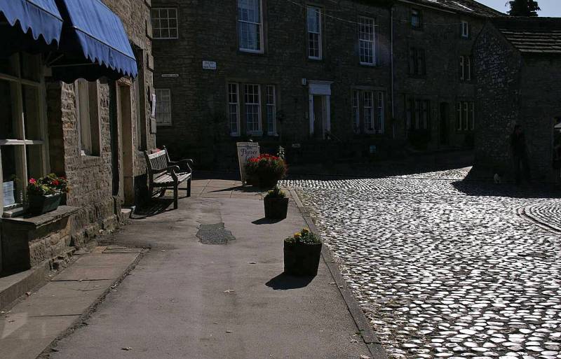
Sunlight on the cobbled streets of Grassington.
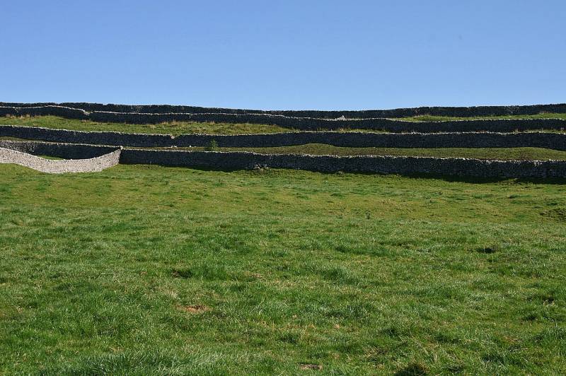
Dry stone walls mark the boundaries of long narrow fields above Grassington.
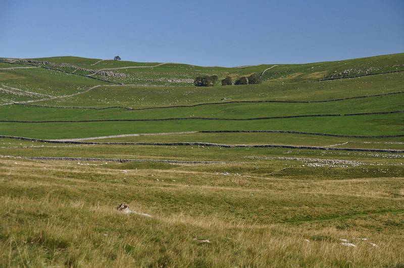
High pastures to the east lead to Grassington Moor.
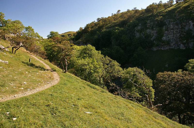
This wonderful path lead us round the steep ravine cut by Dib Beck.
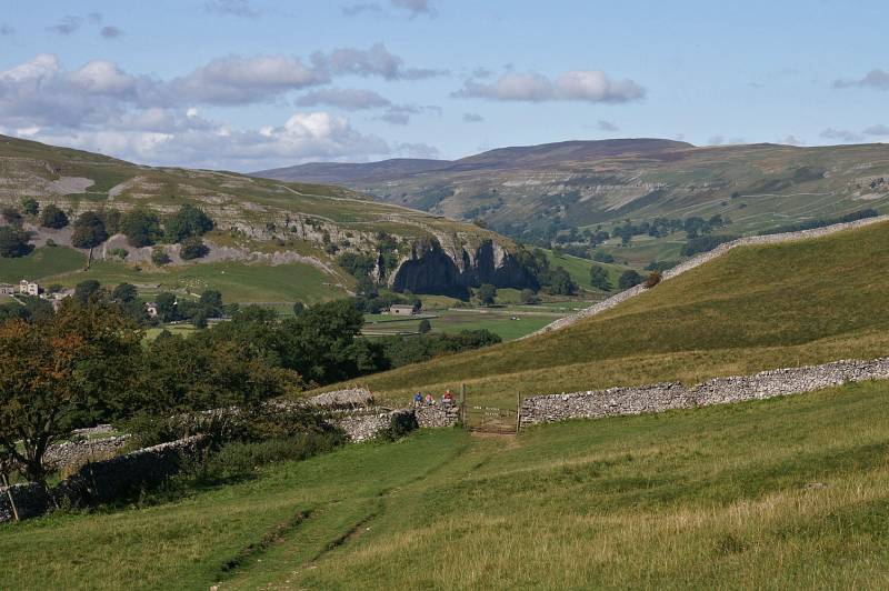
On the descent to Conistone with a stunning view to Kilnsey Crag.
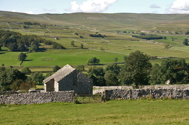
As seen across Wharfedale the long sweep of Kilnsey Moor.
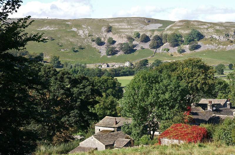
Looking down on the delightful sleepy hamlet of Conistone.
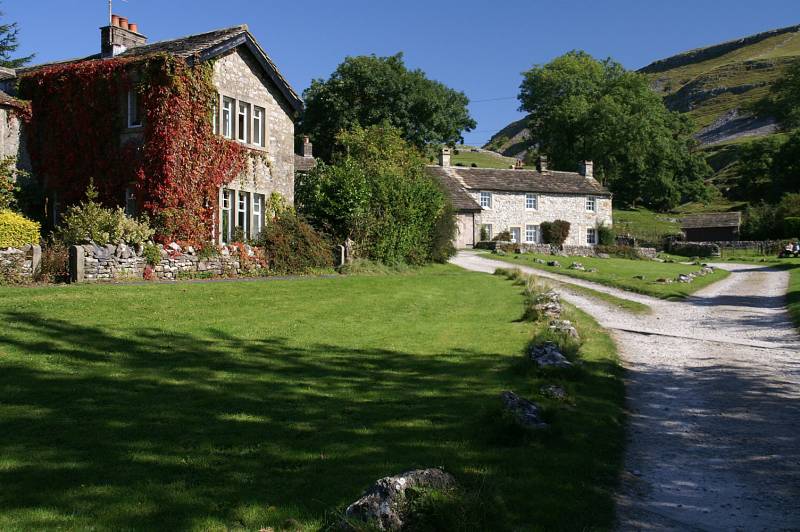
Conistone, to the right the entrance to Conistone Dib.
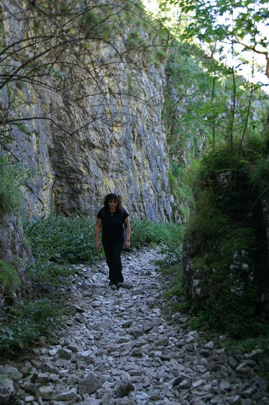
Sue strides over the dry stream bed between the limestone cliffs of Conistone Dib.
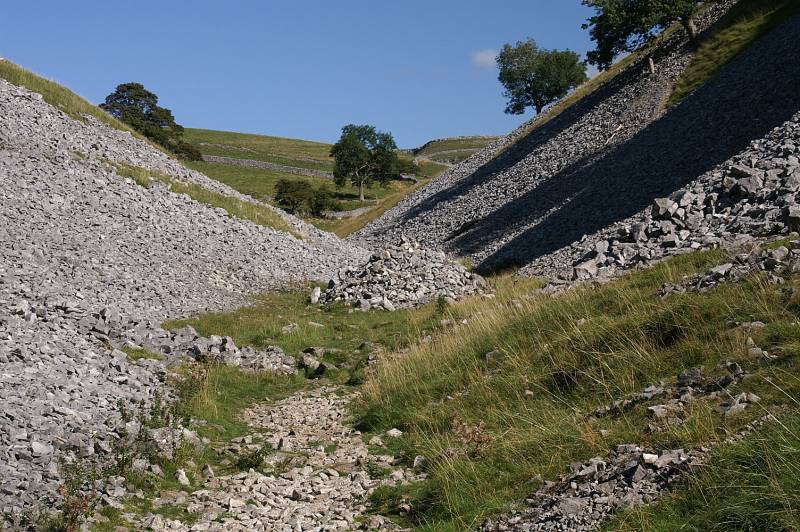
Ascending the dry stream bed looking to the head of the Dib.
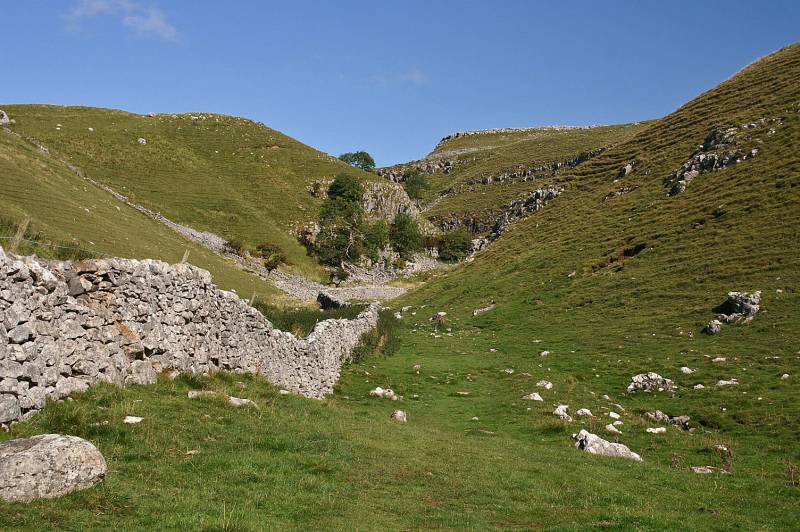
The head of the Dib looks quite imposing from lower down.
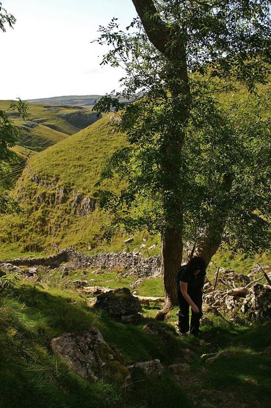
Sue gracefully ascends to the head of the Dib, at this point she's demanding the camera....
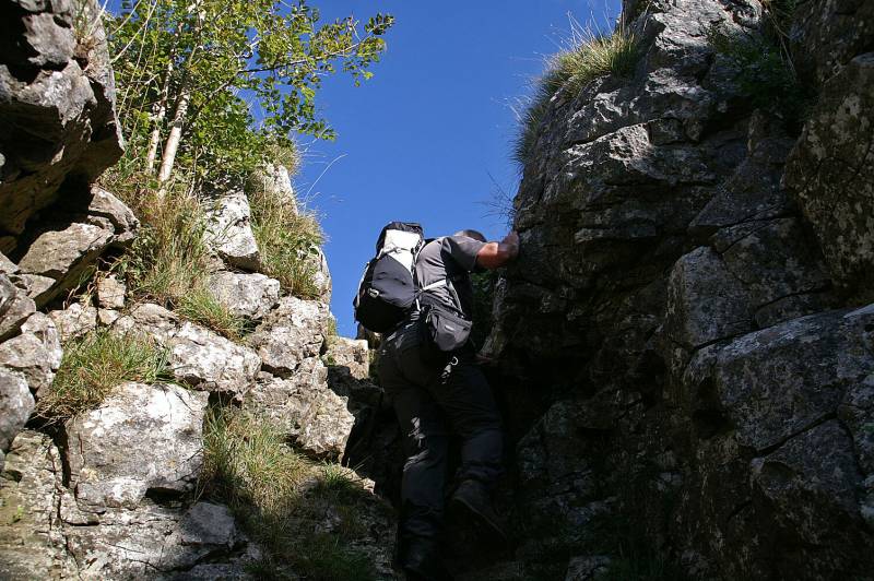
....so I can make a fool of myself ascending the last climb.

On Conistone Pie with Old Cote Moor rising above Wharfedale.
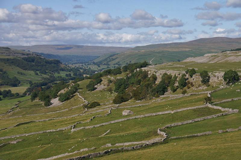
From Conistone Pie mouth-watering views to the head of Wharfedale with Yockenthwaite Moor across the skyline and Buckden Pike to the right.
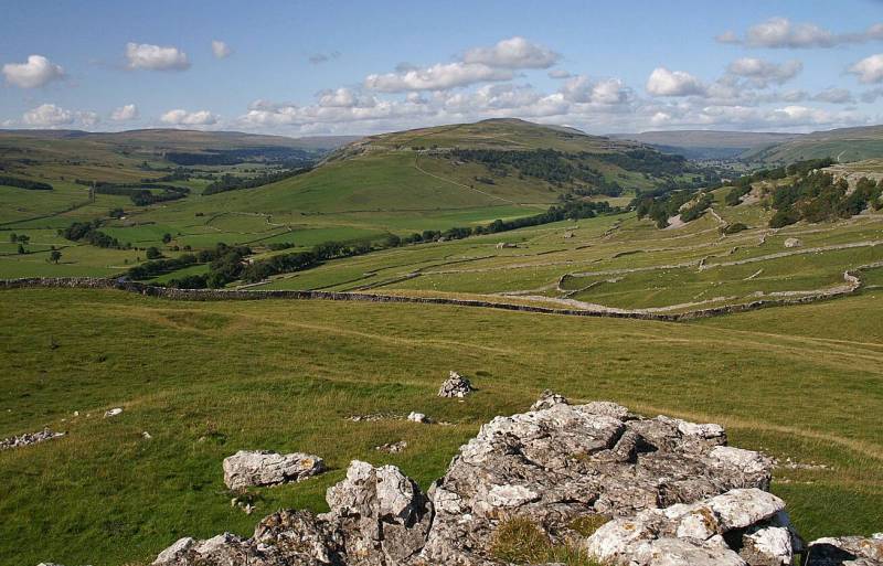
Old Cote Moor rising between Wharfedale and Littondale the valley of the River Skirfare.
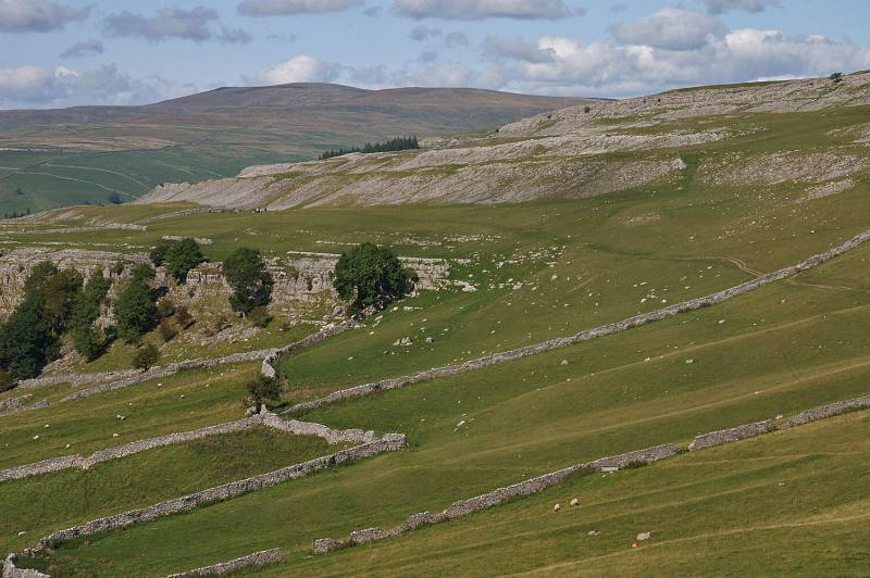
The dramatic rock scenery of Swineber Scar seen from Conistone Pie, the fields and scars were once alive with settlements, all ghosts now.
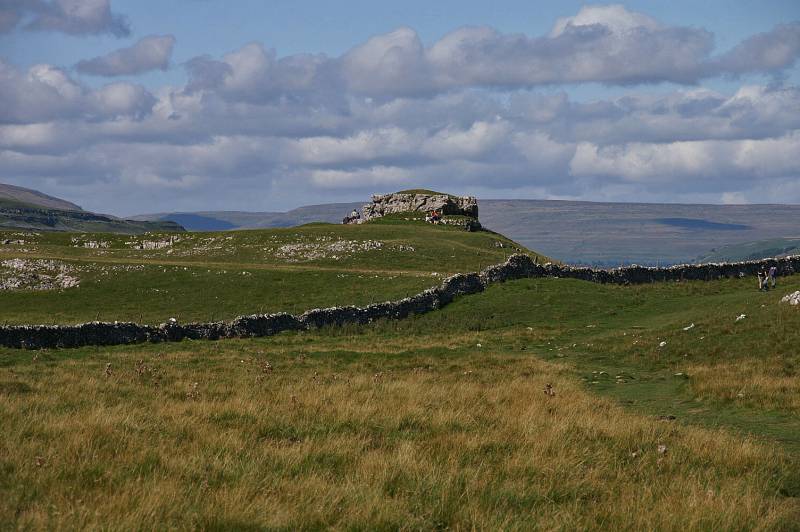
The best view point in Wharfedale, Conistone Pie seen from the south.
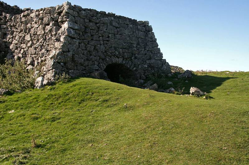
Lime Kiln passed en route to Grassington used for burning lime 150 years ago.
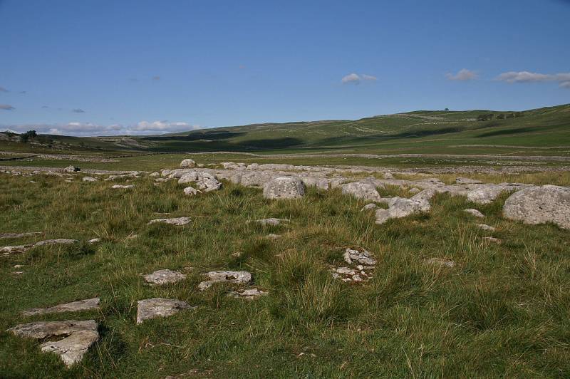
Striding out along the Dales Way passing through yet another ancient settlement with views to the north.
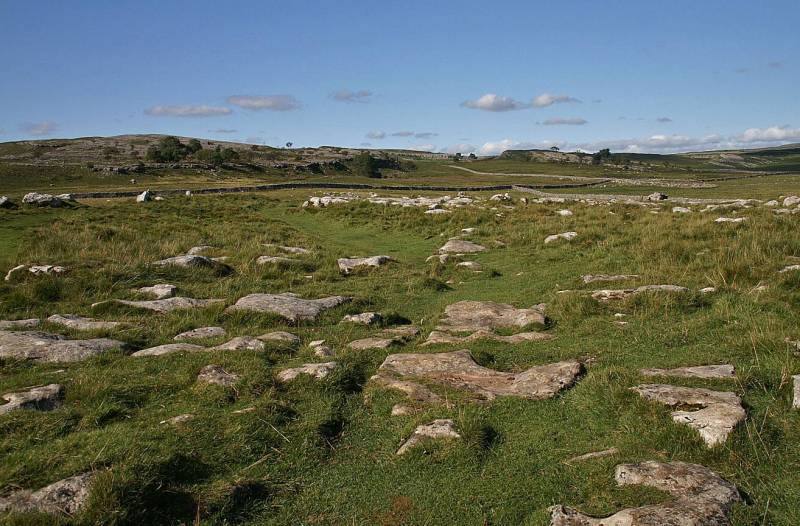
Wonderful limestone scenery above Grassington.

Nearing journeys end looking to Rylstone Fell.
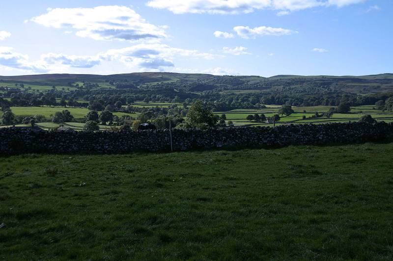
Winterburn Moor as seen over Wharfedale.
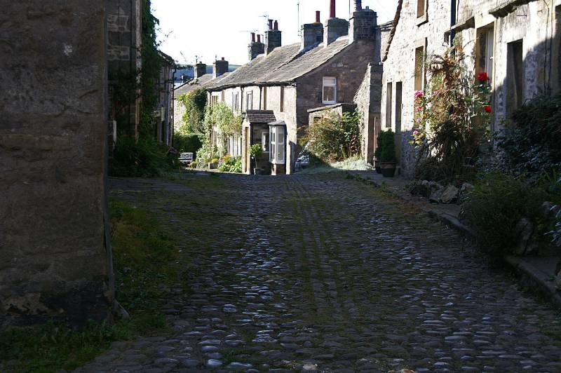
A corner of Grassington.